See the vessels the AIS record doesn't show.

Each day we cross-check optical vessel detections against AIS and hand your watch desk the ones with no broadcast: position, size class and time.
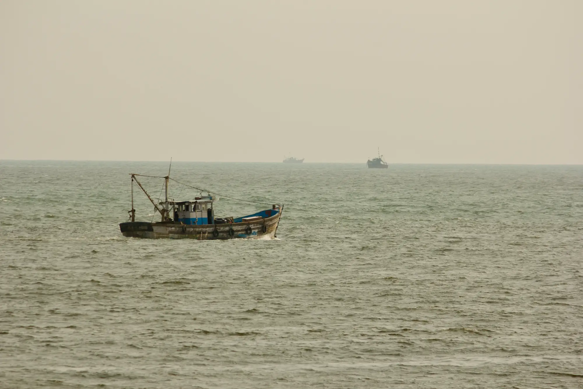
A fishing boat working a hazy, flat sea with two more vessels on the horizon

Where the AIS trawl runs out

The desk scrolls the AIS picture for the zone, looking for tracks that go quiet, and pulls the history on each break to decide which ones deserve a patrol request. It only works on vessels that were broadcasting before they stopped.

A boat that never switched AIS on leaves no track to trawl. When the patrol asset is booked and someone has to say where it goes, the analyst is deciding on a picture with holes in it.

Sketch: an AIS track that stops and starts again, and a vessel with no track at all

The daily trawl, step by step

  1. 01Finding the gaps

    Trawling AIS gaps

    You scroll the AIS picture for the zone and read the tracks that go quiet.

    With Illegal Fishing Detection

    The desk starts from a list. Detections from the day's imagery are matched against AIS and the ones with no matching broadcast are listed.

  2. 02Vessels that never broadcast

    Trawling AIS gaps

    A vessel that never turned AIS on is not in the data, so there is no track to read.

    With Illegal Fishing Detection

    It was seen in the image, so it is on the list with a position and a time.

  3. 03Sizing up a contact

    Trawling AIS gaps

    Length comes from the registry record for the vessel, if you can tie the track to one.

    With Illegal Fishing Detection

    Each detection carries a size class from the imagery, so you can set a large vessel apart from a small one before you open anything else.

  4. 04Choosing where the patrol goes

    Trawling AIS gaps

    You weigh gap flags, VMS positions and what the desk already knows, and pick a place.

    With Illegal Fishing Detection

    The daily list narrows the search. You see where unmatched vessels sit in relation to your zones and closed areas, and that shapes the request.

    Still yours

    The tasking decision, the VMS check, the contact with the flag state and every call on what a vessel is doing.

  5. 05The case record

    Trawling AIS gaps

    Notes, screenshots and a spreadsheet of vessels of interest.

    With Illegal Fishing Detection

    The list comes as a CSV that goes into your case-tracking system, and as a map layer for the GIS.

    Still yours

    The finding. An unmatched detection is a lead, and whether it becomes a case is the unit's call.

Fishing nets, floats and chain heaped on a quayside

What comes back each day

  • Daily gap list

    CSV

    One row per unmatched detection: position, size class and time. It is the feed the desk reads first each morning, and it serves the rows on finding the gaps and sizing up a contact.

    Ledger:Finding the gaps · Sizing up a contact

  • Map layer

    GIS layer

    The same detections plotted against your EEZ, closed areas or patrol zones, so the desk sees where they fall without building the map.

    Ledger:Choosing where the patrol goes

  • Case-tracking export

    CSV

    The list in a form you can drop into your own case-tracking system, so the detection sits next to the notes you already keep.

    Ledger:The case record

How it works

Once

  1. 01

    Watch area in

    Send the EEZ, patrol zone or corridor you want covered, and say which of your closed areas to show on the layer.

Each day

  1. 02

    A daily pass

    We take a high-resolution satellite pass over the watch area each day the sky allows.

  2. 03

    Detection and cross-check

    Vessels are detected in the image and matched against AIS broadcasts for the same position and time.

  3. 04

    The list goes out

    Unmatched vessels come to you as that day's dated list and map layer. Start the morning there, then bring in your VMS picture and what the desk already knows.

Limits

  1. Daylight and clear sky only

    Optical imagery needs daylight and a clear view. A cloudy pass is skipped and not estimated, so a zone under persistent cloud can have no list for a day. There is no night coverage.

  2. Resolution sets the smallest vessel

    At the coarse end of the tier a pixel is 2 m across, so a small craft is a few pixels or fewer and is not reliably detected. Fishing skiffs and small boats can be missed. The list covers larger vessels, and the size class is a coarse band, not a length you can quote in a report.

  3. Cadence is a target

    The pass is daily when conditions allow. It is not continuous, and a vessel that comes and goes between passes can be missed.

  4. What an unmatched detection means

    A vessel with no matching AIS broadcast may have it switched off, may have a fault, or may be a craft not required to carry it. The list does not tell you which, and it does not say whether a vessel was fishing.

  5. Not real-time

    The list is a daily product. It is not a live feed and it is not built for interdiction at sea.

Who it's for

For

  • Fisheries enforcement analysts at a national MCS unit or fisheries monitoring centre
  • Watch desks that task patrol and inspection assets across an EEZ
  • Units that already run AIS and VMS and want a view of vessels outside them

Not for

  • Proof of illegal fishing or evidence for a prosecution
  • Real-time interdiction or night coverage
  • Small craft below what the resolution can reliably detect
  • Identifying a vessel by name, flag or owner

Questions before you start

Does an AIS gap prove illegal fishing?

No. The list shows a vessel in the image with no matching broadcast. What that means is for your unit to work out.

Does this replace our VMS and AIS feeds?

No. It runs alongside them. Your watch desk still reads VMS and AIS as it does now.

What about small skiffs?

Small craft at the limit of the resolution are not reliably detected. Treat the list as a view of larger vessels.

What happens on a cloudy day?

The pass is skipped for the parts of your area under cloud. We don't estimate what was there.

Can you see at night?

No. Optical detection needs daylight.

How do we check it against what we already know?

Take a set of past dates where your desk already knows which vessels were dark and compare them with our list.

Will it open in our tools?

The list comes as a CSV and as a map layer. We don't write into your case-tracking system.

Who owns the imagery and the list?

Ask before you start. A person answers questions on imagery and data rights, not this page.

How is it bought and priced?

Cost depends on the size of the watch area and how it is covered. Tell us your zone and we'll scope it to that.

Start covering your zone.

Send us the watch area and we'll tell you what the daily pass would show over it.

Start a project